Central digital catalogue
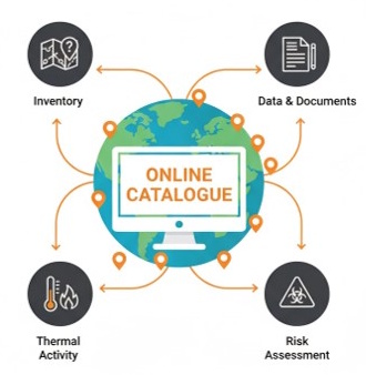
Inventory of coal heaps, including detailed profiles of thermally active 'burning areas'. This online digital resource supports research, risk management and reclamation strategies by combining historical documents (mine maps, topographic records, aerial photographs, etc.) with sample analysis to determine composition, calorific value and other key properties. All consolidated in one place.
Database and modern technologies
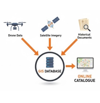
A robust database was created by combining field surveys, historical records and remote sensing data. Drones equipped with LiDAR and thermal cameras provide highly accurate 3D terrain models while detecting thermal anomalies and monitoring vegetation changes. Satellite image analysis, conducted in cooperation with the COPERNICUS programme, identifies thermal hotspots and vegetation 'stress' over large areas.
Solutions, innovation, impact
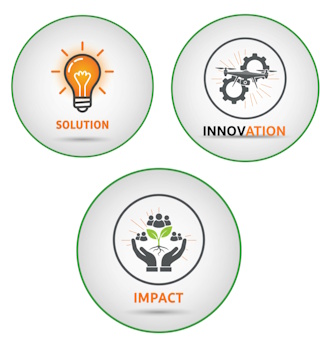
By creating a centralized, accurate and live inventory of coal heaps, the catalogue fills in today's missing information. By integrating proven field practices with advanced technologies — including UAV, satellite imagery and GIS — detailed small-scale information is provided. This gives public authorities, emergency services, researchers and other stakeholders an essential tool for effective risk management, reclamation planning and environmental protection in post-mining areas.